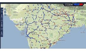
Google has done a lot of changes recently. On Tuesday, Google announced about the addition of Indian Railways schedules and other public transport information for eight cities to the Transit Feature of Google Maps. This India-specific update is available on both the mobile platforms i.e Android and iOS. Along with that Google Maps for the desktop will also be updated, the company informed.
Google informed in a statement that the current update will allow a user to now access information for 12,000 trains along with updated details for the metro and the bus routes. The cities receiving this update are Ahmedabad, Bangalore, Chennai, Hyderabad, Kolkata, Mumbai, New Delhi and Pune.

The users will simply need to put in the destination into Google Maps and click on ‘Get Directions’. After which the user can select the ‘Public Transit’ icon which will include trains along with bus, car and walking options.
Google Maps director, Suren Ruhela stated that, Google Transit is a part of their effort which makes Google Maps more accurate and comprehensive. He continued that this update will be very useful for millions of people around the world who take trains, metros, trams or the buses for their travels. Addition of the Indian Railways in the Google Maps will make the user’s trips planning more easier, hoped the company.
Google Maps already has public transportation schedules for more than one million transit stops all over the world. It is present in almost 2,800 cities which includes New York, London, Tokyo along with Sydney. Google has been in collaboration with hundreds of public transit agencies, this is to make their scheduled information accessible to all Google Maps users worldwide.
